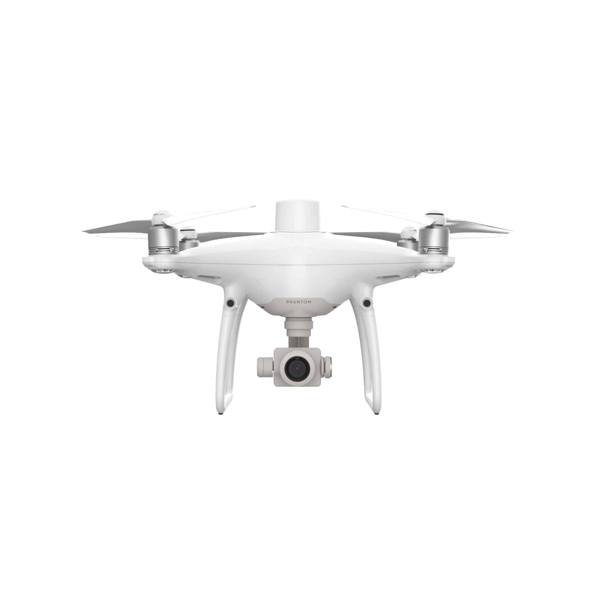
Description
Description:
The last word in cartography and geodesy
Upgrade your next mapping mission with the Phantom 4 RTK – the most compact and accurate low altitude mapping solution. Its new module that provides you with the best data, as well as a high-performance image processing system, along with other features, make it an ideal choice for surveying and mapping work.
Next Generation Mapping
DJI has rethought its drone technology from the ground-up, revolutionizing its systems to achieve a new standard for drone accuracy – offering Phantom 4 RTK customers centimeter-accurate data while requiring fewer ground control points.
High Precision and Safety
Unlike DJI industrial platforms, the Phantom 4 series models have never been equipped with RTK modules before. The new modification of the famous fourth series, on the contrary, received such equipment for the first time, which gave it new properties. Such a model is sure to attract the attention of professionals, because in addition to a powerful camera and extensive post-processing capabilities, it guarantees the receipt of accurate data on the location of the drone in real time, moreover, with unprecedented accuracy (1 cm) and a minimum error in image metadata.
However, the benefits of the Phantom 4 RTK don’t stop there. The presence of an RTK module is important, but it is equally important to ensure safe piloting, especially in conditions of strong interference and weak signal, which are usually characteristic of urban environments. Therefore, in addition to the RTK receiver, the Phantom 4 RTK is equipped with a satellite positioning system module. The use of two modules at once – RTK and a satellite systems module – gives a synergistic effect, enhancing the safety of piloting and the degree of accuracy of information for performing geodesy, cartography and inspection
Reviews
There are no reviews yet.